The building
Chemin de Saint-Claude, Les Semboules & Les Trois Moulins, Antibes – facts from the open sources, each with its source.
Facts
- Address
- Chemin de Saint-Claude
- Use
- Place of worshipOpenStreetMap
- Footprint
- 64 m²OpenStreetMap
- Quartier
- Les Semboules & Les Trois Moulins
On the map
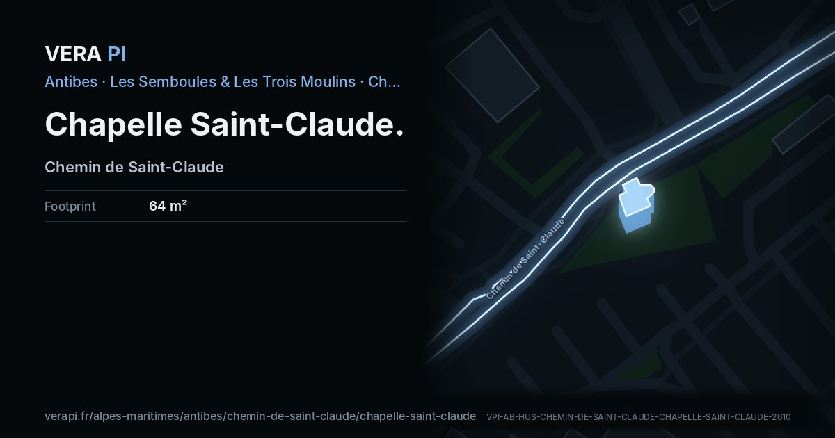
Chapelle Saint-Claude, its outline lit, on Chemin de Saint-Claude.
Building outlines and heights © OpenStreetMap contributors (ODbL).
Nearby
Sights
- 0 mchapelle Saint-Claude d'AntibesChurch
- 100 mÉglise Protestante ÉvangéliqueChurch
- 340 mStratosStatue and art
Food & drink
- 80 mFlunchRestaurant
- 90 mMcDonald'sFast food
- 140 mLe Grand CafèRestaurant
- 150 mLa CantinaRestaurant
- 160 mCR LoungeNightclub
Buses
- 20 mChapelle des Combes
- 180 mSuper Antibes
- 310 mAnémones
Sources
Building outline, height, floors, use and address: © OpenStreetMap contributors, ODbL 1.0.
Year built, dwellings, storeys and materials: BDNB (CSTB, from the fichiers fonciers), Licence Ouverte 2.0 – facts about the building only.
Wikidata (CC0) and Wikipedia (CC BY-SA 4.0); the photograph from Wikimedia Commons under its own licence.
Buses: Compagnie des Autobus d’Antibes GTFS (Licence Ouverte 2.0).