About Antibes
Antibes began as Antipolis, a trading post set up by the Greeks of Marseille, probably in the fourth century BC and most likely at the foot of the rock where the old town stands. Under Rome it became a city of Gallia Narbonensis. The oldest layers are still underfoot: traces of the Greek town have been found around the château, the cathedral, the Rue du Bateau and under the Cours Masséna.
For centuries this was France’s frontier town, facing Nice across the Var. Henri IV bought it from the Grimaldis in 1608; the Fort Carré rose on its peninsula in the sixteenth century, and Vauban, who came in 1682 and 1693 and drew a last project in 1703, worked on the harbour and the walls. The walls began to come down in the nineteenth century – the stretch along the sea, under the Promenade Amiral-de-Grasse, still stands.
Then the Riviera arrived. Villas filled the Cap d’Antibes from the middle of the nineteenth century, Juan-les-Pins was founded as a resort in 1882 and took off in the 1920s, and in the autumn of 1946 Picasso painted for two months in the Château Grimaldi, which became the Musée Picasso in December 1966. Since July 1960, Jazz à Juan has played under the pines of the Pinède Gould.
Today Antibes is the second town of the Alpes-Maritimes after Nice, with 77,637 inhabitants in 2023, two postcodes – 06600 for the town, 06160 for Juan-les-Pins and the Cap – and about 25 km of coast. This guide covers all of it: eleven quartiers, every street, every apartment building and landmark with its own page, and the places worth knowing.
Text: Metro Mode. Sources: Wikipédia – Antibes (Toponymie, Histoire); Wikipédia – Antibes (Époque moderne, Prémices de changements); Office de Tourisme d’Antibes Juan-les-Pins – Antibes, la cité des remparts; Wikipédia – Cap d’Antibes; Office de Tourisme – Juan-les-Pins, lust for life; Office de Tourisme – Picasso Museum; Wikipédia – Antibes (Festival Jazz à Juan); Wikipédia – Antibes (Démographie, d’après l’INSEE ; Quartiers); Office de Tourisme – The beaches.
The quartiers
The essentials
Sixteen places to start with, chosen by the Metro Mode editors – by place, never by rating.
 Antibes Cathedral (Notre-Dame-de-l’Immaculée-Conception)Antibes was a bishopric from the fifth century until 1244, and its former cathedral – also called Notre-Dame-de-la-Platea – is still the largest church in town.Olivier2000 · CC BY-SA 1.0 · Wikimedia CommonsMarché ProvençalThe covered market of the Cours Masséna – the old «Place Vieille», renamed in 1860 – has fed the town since farmers came to sell here at the start of the nineteenth century; its metal hall dates from 1928.
 Fort CarréBuilt on the orders of Henri II in the middle of the sixteenth century, the fort watched the border with the County of Nice from its rock 26 metres above the sea; it was operational by 1585 and first attacked in 1592, by the Duke of Savoy’s army.Abxbay · CC BY-SA 3.0 · Wikimedia CommonsPort VaubanA natural harbour since antiquity in the Anse Saint-Roch, it was given a first dyke in the sixteenth century, a jetty in 1648 and Vauban’s works from the 1680s.Nomade, by Jaume PlensaAn eight-metre figure made of steel letters, open to the sky, on the point of the Bastion Saint-Jaume at the end of the port.Musée d’ArchéologieAntibes’s archaeology museum sits in the Bastion Saint-André, built in 1698 on Vauban’s plans at the southern tip of the town walls; its two brick-vaulted galleries were the garrison’s refectory.Musée Peynet et du Dessin humoristiqueRaymond Peynet drew his famous «Amoureux» in 1943 and settled in Antibes in 1976; the museum on the Place Nationale opened in 1989 with nearly 300 works he gave the town.La Garoupe LighthouseA first lighthouse was lit on the Garoupe plateau in 1837; blown up by the German army in August 1944, it was rebuilt in 1948, 29 metres tall.Notre-Dame de la GaroupeThe sailors’ chapel on the top of the Cap is a fourteenth-century church in the Provençal Romanesque style, listed since 1926.Villa EilenrocA neoclassical villa finished in 1867 on plans attributed to Charles Garnier, at the tip of the Cap in an eleven-hectare park by the sea.Jardin botanique de la Villa ThuretThe botanist Gustave Thuret, famous for his work on seaweed, came south for his health and created this garden on the Cap in 1858 to see which exotic plants could live on the Riviera.La Pinède GouldThe pine wood in the heart of Juan-les-Pins is in two parts: to the north a playground, a carousel and a sculpture by Sosno under century-old pines; to the south the open-air stage where Jazz à Juan has played since 1960.
 Hôtel Belles RivesIn 1925 F. Scott and Zelda Fitzgerald rented the Villa Saint-Louis on the water at Juan-les-Pins, and Fitzgerald worked here on Tender Is the Night.Leaaa9 · CC BY-SA 4.0 · Wikimedia CommonsPlage de la SalisThe long sandy beach between the old town and the Cap, with shallow water that makes it the town’s favourite for small children and, across the bay, the ramparts of Vieil Antibes with the Alps behind.Plage de la GaroupeThe sandy cove on the eastern side of the Cap, below the plateau, facing the Baie des Anges – one of the best-known beaches on the Riviera for its setting.
Lists and itineraries
The quartiers on the map
Eleven quartiers, from the old town on its rock to the hills by Sophia Antipolis. Tap one for its guide.
Quartiers: INSEE’s IRIS districts grouped by VERA PI. The map can be embedded: https://verapi.fr/alpes-maritimes/antibes/allt?inb=1
On in Antibes
- 17 Oct – 31 Oct7ème Festival International d'Art Urbain "Coul'heures d'automne"Centre ville et divers lieux
- 24 Oct – 25 OctRégate Trophée d'AutomnePort Vauban - Quai Nord - Société des Régates d'Antibes
- 29 Oct – 30 OctJammin' Juan60 chemin des Sables Antipolis Palais des Congrès d'Antibes Juan-les-Pins
From VERA PI’s nightly events database (DATAtourisme and the Office de Tourisme Métropolitain, Licence Ouverte), read 2026-10-24. Check with the organisers before you go.
Through the year
- 1960Jazz à JuanEvery year in July, in the Pinède Gould, Juan-les-Pins – since 1960
- ·The Calvaire Antibois runEvery year in spring, 10 km from the Ponteil car park, round the Cap and twice over the Garoupe plateau
- ·The Marché ProvençalEvery morning, except Mondays from September to May, under the hall of the Cours Masséna
- ·The night market of Juan-les-PinsEvery evening in July and August, on the Promenade du Soleil
Recurring events; sources: Office de Tourisme – Juan-les-Pins, lust for life; Office de Tourisme – The Garoupe plateau; Office de Tourisme – The markets; Wikipédia – Juan-les-Pins / Antibes (Festival Jazz à Juan).
Places to know
The places in this guide with a Metro Mode text so far.
Sights
- Anthéa – Antipolis Théâtre d’AntibesTheatre · Avenue Jules Grec
- Antibes Cathedral (Notre-Dame-de-l’Immaculée-Conception)Church · Promenade de l'Amiral de Grasse
- Bastion Saint-JaumePalace · Quai des Milliardaires
- Chapelle Saint-BernardinChurch · Rue du Docteur François Delmas
- Chemin and chapels of the CalvaireChurch · Route du Phare
- Fondation Hartung-BergmanMuseum · Chemin du Valbosquet
- Fort CarréPalace · Avenue du 11 Novembre
- Hôtel Belles RivesBuilding · Boulevard Édouard Baudoin
- La Garoupe LighthouseTower and lighthouse · Route du Phare
- Lavoir de la TourraqueAttraction · Rue du Lavoir
- Musée d’ArchéologieMuseum · Promenade Pierre Merli
- Musée Peynet et du Dessin humoristiqueMuseum · Rue Sade
- Musée PicassoMuseum · Promenade de l'Amiral de Grasse
- Nomade, by Jaume PlensaArtwork · Quai des Milliardaires
- Notre-Dame de la GaroupeChurch · Route du Phare
- Place NationaleBuilding · Rue Sade
- Port du CroûtonPort · Esplanade Alain Noéro
- Port GallicePort · Boulevard Édouard Baudoin
- Port VaubanPort · Quai des Cinq-Cents Francs
- Posidonia – Espace Mer & LittoralMuseum · Boulevard John Fitzgerald Kennedy
- Tour Grimaldi (the Saracen tower)Tower and lighthouse · Rue Père Christian Chessel
- Villa EilenrocMuseum · Avenue Mrs. L. D. Beaumont
- Église Notre-Dame-de-la-PinèdeChurch · Avenue Georges Gallice
Beaches and beach clubs
Eat & drink
- Amarines by Mauro ColagrecoFine dining · Chemin de la Garoupe
- L'ArazurRestaurant · Rue des Palmiers
- La Passagère – Hôtel Belles RivesFine dining · Boulevard Édouard Baudoin
- Le Figuier de Saint-EspritRestaurant · Rue Saint-Esprit
- Le VaubanRestaurant · Rue Thuret
- Les PêcheursFine dining · Boulevard Maréchal Juin
- Louroc – Hôtel du Cap-Eden-RocFine dining · Boulevard John Fitzgerald Kennedy
- Maison de BaconRestaurant · Boulevard de Bacon
- Miraé by Mauro ColagrecoRestaurant · Chemin de la Garoupe
- NananèreRestaurant · Avenue Paul Doumer
Hotels
Antibes in numbers
| Population | 77,637 | INSEE via geo.api.gouv.fr, Licence Ouverte 2.0 |
|---|---|---|
| Area | 26.76 km² | IGN / INSEE via geo.api.gouv.fr (2,676 ha), Licence Ouverte 2.0 |
| Coastline | 25 km | Office de Tourisme d'Antibes Juan-les-Pins |
| Quartiers in this guide | 11 | VERA PI (INSEE IRIS) |
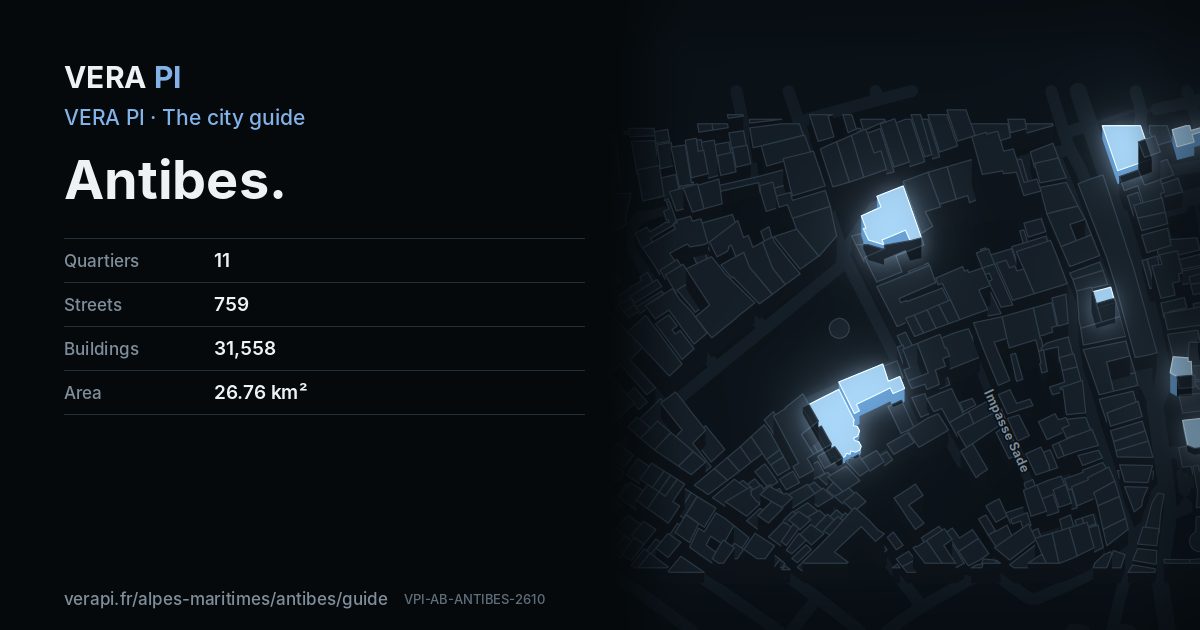
| Named streets | 759 | OpenStreetMap |
| Buildings | 31,558 | OpenStreetMap |
| Apartment buildings with a page | 7,148 | OpenStreetMap |
| Landmarks and public buildings with a page | 136 | OpenStreetMap, Wikidata |
| Restaurants, cafés and bars | 496 | OpenStreetMap, VERA PI |
| Hotels | 87 | OpenStreetMap, VERA PI |
| Shops | 1,020 | OpenStreetMap |
| Beaches and beach clubs | 24 | OpenStreetMap, VERA PI |
| Parks and gardens | 71 | OpenStreetMap |
| Bus stops | 328 | OpenStreetMap |
Counts from the open data VERA PI reads, 25 October 2026. Prices are on VERA PI’s market pages for Antibes – never a single sale here.
Sources
Figures: INSEE and IGN via geo.api.gouv.fr (Licence Ouverte 2.0). Quartiers: INSEE’s IRIS districts grouped by VERA PI. Buildings, streets and places: © OpenStreetMap contributors, ODbL 1.0, and VERA PI’s own register. Sights: Wikidata (CC0) and the Mérimée base; photographs from Wikimedia Commons under the licence shown on each. Events: DATAtourisme and the Office de Tourisme Métropolitain (Licence Ouverte). Text: Metro Mode, with its sources named under each part.