The building
Built on the orders of Henri II in the middle of the sixteenth century, the fort watched the border with the County of Nice from its rock 26 metres above the sea; it was operational by 1585 and first attacked in 1592, by the Duke of Savoy’s army. Vauban improved it at the end of the seventeenth century. The town bought it in 1997 and opened it in 1998: guided visits take about 45 minutes, and the walk round it crosses a protected park of four hectares with views back over the old town.
Good to know. North of the port, a walk round the harbour from the old town. Guided visits; check the season’s days.


Facts
- Address
- 60 Avenue du 11 Novembre
- Footprint
- 305 m²OpenStreetMap
- Heritage setting
- Within the setting of a historic monumentBDNB
- Quartier
- Fort Carré
- Built
- c. 1550s (begun under Henri II; Wikidata gives 1553)Ville d’Antibes · Wikipédia · Wikidata
- Heritage
- Monument historique classéWikidata · Mérimée PA00080656
On the map
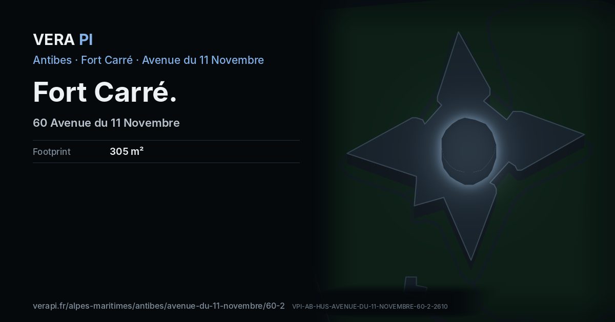
Fort Carré, its outline lit, on Avenue du 11 Novembre.
Building outlines and heights © OpenStreetMap contributors (ODbL).
Nearby
Sights
- 20 mFort CarréPalace
- 100 mmonument aux morts de AntibesMonument
- 20 mchapelle Saint-Laurent du fort carréChurch
- 70 mJean-Étienne ChampionnetBuilding
The sea and the port
- 360 mPlage du Fort CarréBeach
- 410 mPort VaubanPort
Buses
- 300 mParc Relais du Fort Carré
- 340 mFort Carré
Sources
Text: Metro Mode, from Ville d’Antibes – Découvrir le Fort Carré; Wikipédia – Fort Carré (Antibes); Wikidata.
Building outline, height, floors, use and address: © OpenStreetMap contributors, ODbL 1.0.
Year built, dwellings, storeys and materials: BDNB (CSTB, from the fichiers fonciers), Licence Ouverte 2.0 – facts about the building only.
Wikidata (CC0) and Wikipedia (CC BY-SA 4.0); the photograph from Wikimedia Commons under its own licence.
Buses: Compagnie des Autobus d’Antibes GTFS (Licence Ouverte 2.0).
Official website antibes-juanlespins.com