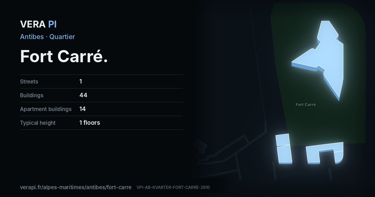
About Fort Carré
The Fort Carré was built on the orders of Henri II in the middle of the sixteenth century, on a small peninsula north of the port where the chapel of Saint-Laurent stood – its central tower still bears the name – and rises 26 metres above the sea. It was the sentinel of the border with the County of Nice until 1860; Vauban improved it at the end of the seventeenth century. Listed as a historic monument at the start of the twentieth century, it was bought by the town in 1997 and has been open to visitors since 1998, in a protected park of four hectares.
From here the beaches turn to shingle, carried down by the Var, and the water deepens fast a few metres out. This quartier is VERA PI’s own division: the part of INSEE’s Port Vauban district north of the harbour.
Text: Metro Mode. Sources: Ville d’Antibes – Découvrir le Fort Carré; Wikipédia – Fort Carré (Antibes); Office de Tourisme – The beaches; INSEE / IGN – Contours IRIS.
Fort Carré on the map
What to see in Fort Carré
 Fort CarréBuilt on the orders of Henri II in the middle of the sixteenth century, the fort watched the border with the County of Nice from its rock 26 metres above the sea; it was operational by 1585 and first attacked in 1592, by the Duke of Savoy’s army.Abxbay · CC BY-SA 3.0 · Wikimedia Commons
 Chapelle orthodoxe russe de Tous-les-Saints-de-la-Terre-Russe d'AntibesChurch · Town centreAimelaime at French Wikipedia · Public domain · Wikimedia Commons
Places
Sights
Eat & drink
Every street in Fort Carré – 1 street guides
Sources
Quartier: INSEE’s IRIS districts (IGN CONTOURS-IRIS, Licence Ouverte 2.0), grouped by VERA PI. Buildings, streets and places: © OpenStreetMap contributors, ODbL 1.0, and VERA PI’s own register. Sights: Wikidata (CC0) and the Mérimée base; photographs from Wikimedia Commons under the licence shown on each. Text: Metro Mode, with its sources above.