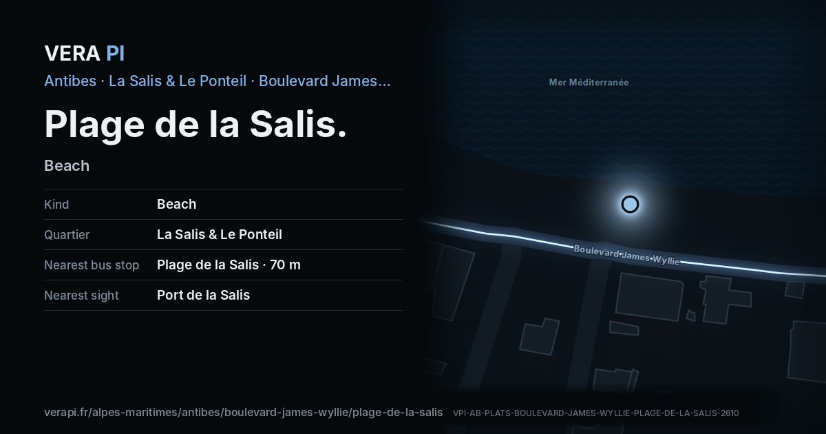
The place
The long sandy beach between the old town and the Cap, with shallow water that makes it the town’s favourite for small children and, across the bay, the ramparts of Vieil Antibes with the Alps behind. Lifeguards in season, showers and toilets, a sailing school and access for people with disabilities.
Good to know. Between the old town and the Cap; a large car park nearby.
Facts
- Name
- Plage de la Salis
- Kind
- BeachOpenStreetMap
- Category
- Beaches and beach clubs
- Address
- on Boulevard James Wylliethe nearest street
- Quartier
- La Salis & Le Ponteil
Where it is
Plage de la Salis on Boulevard James Wyllie.
The map of La Salis & Le Ponteil · © OpenStreetMap contributors (ODbL).
Nearby
Sights
- 230 mPort de la SalisPort
- 10 mplage de La SalisNature
- 170 mPlage de la Base de Voilestrand
Buses
- 70 mPlage de la Salis
- 170 mPort de la Salis
- 230 mPort de la Salis
The sea and the port
- 0 mPlage de la SalisBeach
- 230 mPort de la SalisPort
Sources
Text: Metro Mode, from Office de Tourisme – The beaches.
Name, kind, address and opening hours: © OpenStreetMap contributors, ODbL 1.0 – as tagged, never a review, a rating or a price.
Buses: Compagnie des Autobus d’Antibes GTFS (Licence Ouverte 2.0).