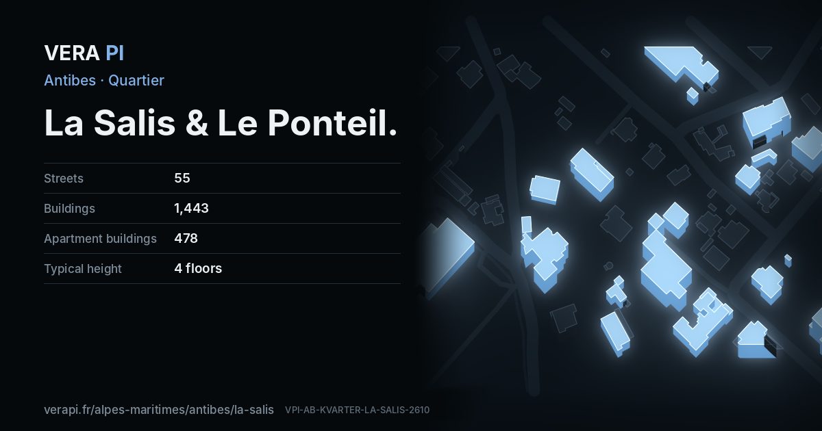
About La Salis & Le Ponteil
Leaving the old town for the Cap, the coast opens into two long sandy beaches, the Ponteil and the Salis, where the water stays shallow – the ones the town recommends for small children. Both have lifeguards in summer, showers and toilets, a large car park, a sailing school and access for people with disabilities.
Behind the beaches, the residential streets climb towards the Garoupe plateau; the Chemin du Calvaire is the walkers’ way up.
Text: Metro Mode. Sources: Office de Tourisme – The beaches; Office de Tourisme – The Garoupe plateau.
La Salis & Le Ponteil on the map
What to see in La Salis & Le Ponteil
 Plage de La SalisNature · La Salis & Le PonteilAbxbay · CC BY-SA 3.0 · Wikimedia Commons
 Plage du PonteilNature · La Salis & Le PonteilAbxbay · CC BY-SA 3.0 · Wikimedia Commons
Places
Sights
- Albert 1erArtwork · Boulevard Maréchal Leclerc
- Antibes, la promenade à cheval, l'artiste et son fils CharlesArtwork · Promenade Pierre Merli
- Deep 9Artwork · Promenade Pierre Merli
- Musée d’ArchéologieMuseum · Promenade Pierre Merli
- Plage de La SalisNature · Boulevard James Wyllie
- Plage du PonteilNature · Promenade Pierre Merli
Beaches and beach clubs
Eat & drink
- Al MareRestaurant · Boulevard James Wyllie
- Cafe du CapRestaurant · Boulevard Maréchal Leclerc
- Chez JosyBeach kiosk / pan bagnat · Boulevard James Wyllie
- Kiosque Ma BohèmeBeach kiosk / snack · Boulevard James Wyllie
- L'odysséeRestaurant · Boulevard Maréchal Leclerc
- L'épicerie du CapCafé · Boulevard Maréchal Leclerc
- L'évolutionCafé · Avenue Lemeray
- Le Bistrot de la PlageRestaurant · Boulevard James Wyllie
- Le PoseidonFast food · Promenade Pierre Merli
- L’OdysséeMediterranean restaurant · Boulevard Maréchal Leclerc
- Magali EscapinCatering / traiteur · Boulevard James Wyllie
- Pane e VinoRestaurant · Boulevard Maréchal Leclerc
- Quanto BastaRestaurant · Montée Marie-Antoinette
- Royal BeachRestaurant · Boulevard Maréchal Leclerc
Hotels
Shops
- Aux arts ménagersHouseware · Avenue des Frères Roustan
- Baiku Motor TrustMotorcycle · Chemin de Tanit
- Bijouterie SaveurJewelry · Avenue de Provence
- Chic ImageClothes · Avenue des Dames Blanches
- Eric KayserBakery · Avenue des Chênes
- J. ChopinMedical supply · Avenue Lemeray
- Krigler FrancePerfume and beauty retail · Boulevard James Wyllie
- Lunetier du CapOptician · Boulevard Maréchal Leclerc
- Pro CoiffureHairdresser · Avenue des Frères Roustan
- Rapid'CoutureTailor · Avenue Lemeray
- Salon Cortès, Coiffure & EsthétiqueHairdresser · Boulevard Maréchal Leclerc
- Tabac PresseNewsagent · Boulevard Maréchal Leclerc
- VivalConvenience · Boulevard Maréchal Leclerc
- École de plongéeScuba diving · Promenade Pierre Merli
Through the year in La Salis & Le Ponteil
- ·The Calvaire Antibois runEvery year in spring, 10 km from the Ponteil car park, round the Cap and twice over the Garoupe plateau
Recurring events; sources: Office de Tourisme – The Garoupe plateau.
Every street in La Salis & Le Ponteil – 55 street guides
- Allée André Vinson
- Allée Eugénie Venet
- Allée Françoise Dolto
- Allée des Géraniums
- Allée des Orangers
- Avenue Auguste Renoir
- Avenue Daudel
- Avenue Edmond Salvy
- Avenue Gaston Bourgeois
- Avenue Général Baron Vial
- Avenue Henri Doniol
- Avenue Lemeray
- Avenue Max Maurey
- Avenue Saint-Donatien
- Avenue de Laverne
- Avenue de Provence
- Avenue de l'Orangerie
- Avenue de l'Îlette
- Avenue de la Rostagne
- Avenue de la Salisette
- Avenue des Chênes
- Avenue des Chênes Salis
- Avenue des Cèdres
- Avenue des Dames Blanches
- Avenue des Frères Roustan
- Avenue des Mûriers
- Avenue du Bosquet
- Avenue du Rusquet
- Boulevard James Wyllie
- Boulevard Maréchal Leclerc
- Boulevard du Cap
- Chemin de Guérande
- Chemin de Tanit
- Chemin de l'Asmodée
- Chemin de l'Ermitage
- Chemin des Lauriers
- Impasse Cauvi
- Impasse Jean Mensier
- Impasse des Coquelicots
- Impasse des Oeillets
- Impasse des Roses
- Impasse du Panorama
- Montée Marie-Antoinette
- Promenade Pierre Merli
- Rond-Point de l'Ilette
- Rond-Point des Sables
- Sentier de la Vertu
- Square Maizière
- Traverse Record
- Traverse Rinaudo
- Traverse de la Plage
- Traverse de la Rostagne
- Traverse des Bougainvillées
- Traverse des Iris
- Traverse du Record
Sources
Quartier: INSEE’s IRIS districts (IGN CONTOURS-IRIS, Licence Ouverte 2.0), grouped by VERA PI. Buildings, streets and places: © OpenStreetMap contributors, ODbL 1.0, and VERA PI’s own register. Sights: Wikidata (CC0) and the Mérimée base; photographs from Wikimedia Commons under the licence shown on each. Text: Metro Mode, with its sources above.