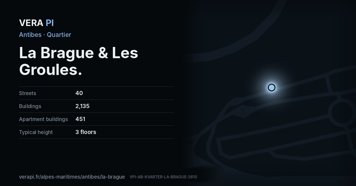
About La Brague & Les Groules
In the north-east, the Brague river reaches the sea on Antibes land, and shingle beaches run back towards the Fort Carré. Marineland, the marine park that opened here in 1970, closed in 2025. This is INSEE’s district of Les Groules-Les Bréguières.
Text: Metro Mode. Sources: Wikipédia – Antibes (Situation); Wikipédia – Marineland d’Antibes; Office de Tourisme – The beaches.
La Brague & Les Groules on the map
What to see in La Brague & Les Groules
Plage du Fort CarréBelow the fort the coast turns to shingle, carried down by the Var, and runs north towards La Brague.Ephad Les Jardins de Saint-PaulPark · La Brague & Les Groules Marineland of AntibesPark · La Brague & Les GroulesArnaud 25 & Jean Loup P · Public domain · Wikimedia CommonsPont du BourgetBuilding · La Brague & Les GroulesMarinelandOther · La Brague & Les Groules
 Q140122050Park · La Brague & Les Groulesavu-edm · CC BY 3.0 · Wikimedia Commons
Marineland of AntibesPark · La Brague & Les GroulesArnaud 25 & Jean Loup P · Public domain · Wikimedia CommonsPont du BourgetBuilding · La Brague & Les GroulesMarinelandOther · La Brague & Les GroulesQ140122050Park · La Brague & Les Groulesavu-edm · CC BY 3.0 · Wikimedia CommonsPlaces
Sights
Beaches and beach clubs
Eat & drink
- A Casa NostraRestaurant · Route de Nice
- Bistro & CoBar · Route de Nice
- Chez GinoFast food · Route du Bord de Mer
- Cibo ItaliaRestaurant · Route de Nice
- Entre ParenthèseBar · Chemin des 4 Chemins
- Ital PizzaRestaurant · Chemin des Moyennes Bréguières
- La SiestaNightclub · Route du Bord de Mer
- Le Comptoir 233Restaurant · Route de Nice
- Little Rock DinerRestaurant · Route de Nice
- NÂGA Street-foodRestaurant · Route de Nice
- Pizza AdeliaRestaurant · Route de Nice
- Vin's PizzaFast food · Chemin des 4 Chemins
Shops
- Antibes CyclesBicycle · Route de Nice
- Antibes Print ServicesCopyshop · Route de Nice
- AviaConvenience;gas · Route de Nice
- Biscuiterie d'AntibesConfectionery · Boulevard des Groules
- Blue PlatinumHairdresser · Route de Nice
- Carrefour MarketSupermarket · Route de Nice
- Casino ShopConvenience · Route de Nice
- Charcuterie GabrielButcher · Route de Nice
- Château Sainte-CroixWine · Route de Nice
- Dr SmokeCannabis · Route de Nice
- Float HarmonyMassage · Chemin des 4 Chemins
- France EsthetiqueBeauty · Route de Nice
- Guido PlaisanceCar repair · Route de Nice
- L'Atelier des PainsBakery · Route de Nice
- La Maison Du FruitGreengrocer · Avenue du Château de la Brague
- Le bonheur d'orientBeauty · Route de Nice
- Le TempsHairdresser · Route de Nice
- Point.PTrade · Avenue Jean Michard Pellissier
- Pompes Funebres RoblotFuneral directors · Chemin des 4 Chemins
- Pompes Funebrès l'EspéranceFuneral directors · Chemin des 4 Chemins
- ProxiConvenience · Chemin des Hautes Bréguières
- RenaultCar · Route de Nice
- Roc-EclercFuneral directors · Chemin des 4 Chemins
- SifasFurniture · Route de Nice
- TotalEnergiesGas · Route de Nice
Every street in La Brague & Les Groules – 40 street guides
- Allée Falcini
- Allée des Myrtes
- Avenue Georges Bizet
- Avenue Jean Michard Pellissier
- Avenue Mozart
- Avenue Numéro 10
- Avenue Numéro 5
- Avenue Numéro 6
- Avenue Rose des Vents
- Avenue du Château de la Brague
- Avenue du Pylône
- Boulevard Bellevue
- Boulevard Georges Pompidou
- Boulevard de l'Horizon
- Boulevard des Groules
- Boulevard des Lentisques
- Chemin de Saint-Michel
- Chemin de Vaugrenier
- Chemin de la Romaine
- Chemin des 4 Chemins
- Chemin des Groules
- Chemin des Hautes Bréguières
- Chemin des Moyennes Bréguières
- Chemin du Pont Romain
- Impasse Rose des Vents
- Impasse des Lentisques
- Les Mas des Breguieres
- Pont du Bourget
- Rond-Point Spagnon
- Rond-Point de la Brague
- Rond-Point de la Mer
- Rond-Point de la Source Romaine
- Rond-Point des Moyennes Bréguières
- Route de Biot
- Route de Nice
- Route du Bord de Mer
- Rue des Dauphins
- Résidence l'Oasis
- Traverse Bellevue
- Villa des Bréguières
Sources
Quartier: INSEE’s IRIS districts (IGN CONTOURS-IRIS, Licence Ouverte 2.0), grouped by VERA PI. Buildings, streets and places: © OpenStreetMap contributors, ODbL 1.0, and VERA PI’s own register. Sights: Wikidata (CC0) and the Mérimée base; photographs from Wikimedia Commons under the licence shown on each. Text: Metro Mode, with its sources above.