The building
A first lighthouse was lit on the Garoupe plateau in 1837; blown up by the German army in August 1944, it was rebuilt in 1948, 29 metres tall. Its light, at 103 metres above the sea and of 2,300,000 candelas, is among the most powerful on the Mediterranean coast – two white flashes every ten seconds, seen some 50 km out to sea. The town reopened it to visitors in 2024.
Good to know. Route du Phare, at the top of the Cap; by car, or on foot up the Chemin du Calvaire from La Salis.
Facts
- Address
- 685 Route du Phare
- Floors
- 1OpenStreetMap building:levels
- Height
- 29 mOpenStreetMap height
- Footprint
- 181 m²OpenStreetMap
- Dwellings
- 1BDNB
- Roof
- tilesBDNB
- Heritage setting
- Within the setting of a historic monumentBDNB
- Quartier
- Cap d'Antibes & La Garoupe
- Built
- 1948 (rebuilt; first light 1837)Wikipédia
- Height
- 29 mWikipédia
- Heritage
- Inventaire général du patrimoine culturel (2003)Wikipédia · Mérimée IA06001351
On the map
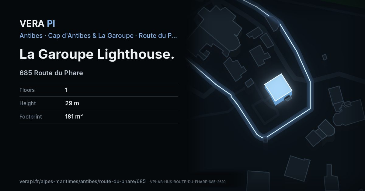
La Garoupe Lighthouse, its outline lit, on Route du Phare.
Building outlines and heights © OpenStreetMap contributors (ODbL).
Nearby
Sights
- 50 mNotre Dame de la GaroupeChurch
- 30 mphare de la GaroupeTower and lighthouse
- 40 mchapelle du Mont-Calvaire d'AntibesChurch
Food & drink
- 60 mA Bon Port - le Bistrot du CuréCafé
The sea and the port
- 760 mPlage de la SalisBeach
- 600 mPort de la SalisPort
Sources
Text: Metro Mode, from Wikipédia – Phare de la Garoupe; Office de Tourisme – The Garoupe plateau.
Building outline, height, floors, use and address: © OpenStreetMap contributors, ODbL 1.0.
Year built, dwellings, storeys and materials: BDNB (CSTB, from the fichiers fonciers), Licence Ouverte 2.0 – facts about the building only.
Official website antibes-juanlespins.com