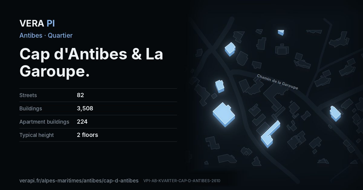
About Cap d'Antibes & La Garoupe
The Cap d’Antibes began to fill with grand houses in the middle of the nineteenth century, when wealthy visitors from England and Russia discovered it. South of a line from the Port du Croûton to the Salis, it counts 1,456 year-round residents on 3.7 km² – one of the lowest densities on the coast. On the Garoupe plateau stand the lighthouse, the sailors’ chapel of Notre-Dame-de-la-Garoupe and a nine-hectare holm-oak wood of the Conservatoire du Littoral.
The coastal path of Tire-Poil runs some three kilometres through the rocks from the Garoupe beach to the Anse de l’Argent Faux below the Villa Eilenroc, a walk of about two hours with views to the Lérins islands and the Alps; it closes in bad weather, and the section below the Villa Eilenroc is closed until May 2027. The Villa Thuret, a botanical garden of INRAE, and the Villa Eilenroc, given to the town in 1982, are the Cap’s two great public gardens.
Text: Metro Mode. Sources: Wikipédia – Cap d’Antibes (Histoire, Démographie d’après l’INSEE); Office de Tourisme – The Garoupe plateau; Wikipédia – Cap d’Antibes (Sentier du littoral); Office de Tourisme – Cap d’Antibes: the Tire-poil footpath; Wikipédia – Sentier de Tire-Poil.
Cap d'Antibes & La Garoupe on the map
What to see in Cap d'Antibes & La Garoupe
 Chemin and chapels of the CalvaireThe walkers’ way up to the Garoupe plateau: the Chemin du Calvaire leads past the chapel of the Mont-Calvaire to the top of the Cap.Tangopaso · Public domain · Wikimedia Commons
Places
Sights
- Abri de l'OlivetteOther · Boulevard Maréchal Juin
- Chemin and chapels of the CalvaireChurch · Route du Phare
- La Garoupe LighthouseTower and lighthouse · Route du Phare
- Notre-Dame de la GaroupeChurch · Route du Phare
- Phare de l'IletteTower and lighthouse · Chemin de la Mosquée
- Plage de la Baie des MilliardairesNature · Sentier de Tirepoil
- Posidonia – Espace Mer & LittoralMuseum · Boulevard John Fitzgerald Kennedy
- Temple protestant du Cap d'AntibesBuilding · Avenue Mrs. L. D. Beaumont
- Villa EilenrocMuseum · Avenue Mrs. L. D. Beaumont
- Villa ThuretBuilding · Chemin Gustave Raymond
- Église Saint-Benoît de Cap d'AntibesChurch · Boulevard Francis Meilland
Beaches and beach clubs
- Dior beauty salonBeauty · Boulevard John Fitzgerald Kennedy
- EÏA wellnessSpa / wellness · Boulevard Maréchal Juin
- Fitness VillageFitness · Boulevard John Fitzgerald Kennedy
- Plage de la Baie des MilliardairesBeach · Sentier de Tirepoil
- Plage de la GaroupeBeach · Chemin de la Garoupe
- Plage des OndesBeach · Boulevard Maréchal Juin
- Plage JosephBeach · Sentier de Tirepoil
- Plage KellerBeach · Chemin de la Garoupe
- Private beachPrivate beach · Boulevard Maréchal Juin
- Spa CodageSpa · Chemin du Parc Saramartel
Eat & drink
- A Bon Port - le Bistrot du CuréCafé · Route du Phare
- Amarines by Mauro ColagrecoFine dining · Chemin de la Garoupe
- BABA restaurantBeach restaurant · Boulevard Maréchal Juin
- BABA rotunda barBar · Boulevard Maréchal Juin
- Brasserie BiscuitBrasserie / breakfast to dinner · Boulevard Francis Meilland
- Juice & Ice Cream BarFood & drink · Boulevard John Fitzgerald Kennedy
- La Petite GaroupeRestaurant · Chemin de la Garoupe
- La Plage du CapBeach restaurant · Chemin de la Garoupe
- La RotondeRestaurant / bar · Chemin du Parc Saramartel
- Le CésarRestaurant · Chemin de la Garoupe
- Le FabRestaurant · Traverse des Nielles
- Le RocherRestaurant · Chemin de la Garoupe
- Les PêcheursFine dining · Boulevard Maréchal Juin
- Louroc – Hôtel du Cap-Eden-RocFine dining · Boulevard John Fitzgerald Kennedy
- Maison de BaconRestaurant · Boulevard de Bacon
- Miraé by Mauro ColagrecoRestaurant · Chemin de la Garoupe
- Quinto Cielo restaurantRooftop restaurant · Chemin du Parc Saramartel
- Salon de thé de la Villa EilenrocMunicipal-estate tea room · Avenue Mrs. L. D. Beaumont
- Snack PascalineBeach kiosk / snack · Avenue de la Salis
- The GrillRestaurant · Boulevard John Fitzgerald Kennedy
Hotels
- Beau SiteHotel · Boulevard John Fitzgerald Kennedy
- Boutique Hôtel Villa FabuliteHotel / hostel / serviced residence · Traverse des Nielles
- Cap d'Antibes Beach HotelHotel · Boulevard Maréchal Juin
- Caravelle 60Hotel / hostel / serviced residence · Avenue de l'Antiquité
- Castel Garoupe AxaHotel · Boulevard de la Garoupe
- Hôtel de la Baie DoréeHotel · Boulevard de la Garoupe
- Hôtel du Cap-Eden-RocHotel · Boulevard John Fitzgerald Kennedy
- Hôtel du LevantHotel · Chemin de la Plage d'Armant Jammot
- Hôtel Impérial GaroupeHotel · Boulevard de la Garoupe
- Hôtel Émeraude / Résidence ÉmeraudeHotel / hostel / serviced residence · Chemin du Parc Saramartel
- Le 1932 Hôtel & Spa Cap d’AntibesHotel / hostel / serviced residence · Chemin du Parc Saramartel
- MiramarHotel · Chemin de la Plage d'Armant Jammot
- Serviced apartmentsServiced residence · Chemin du Parc Saramartel
- Villa MiraéHotel / hostel / serviced residence · Chemin de la Garoupe
- VogueHotel · Boulevard de la Garoupe
Through the year in Cap d'Antibes & La Garoupe
- ·The Calvaire Antibois runEvery year in spring, 10 km from the Ponteil car park, round the Cap and twice over the Garoupe plateau
Recurring events; sources: Office de Tourisme – The Garoupe plateau.
Every street in Cap d'Antibes & La Garoupe – 82 street guides
- Allée Hermine
- Allée Tennis Provençal
- Allée des Lierres
- Allée des Mouettes
- Allée des Oliviers
- Allée des Églantiers
- Avenue Aimé Bourreau
- Avenue André Sella
- Avenue Boué de Lapeyrère
- Avenue Félix Bessy
- Avenue Georges Cuvier
- Avenue Guide
- Avenue Henri Duvernois
- Avenue Jules Constant
- Avenue Jules Verne
- Avenue Malespine
- Avenue Marc Pugnaire
- Avenue Mrs. L. D. Beaumont
- Avenue Rouaze
- Avenue Thalassa
- Avenue d'Alger
- Avenue d'Oran
- Avenue de Constantine
- Avenue de l'Antiquité
- Avenue de la Salis
- Avenue de la Tour Gandolphe
- Avenue des Chênes Verts
- Avenue des Grand Ducs
- Avenue des Maréchaux
- Avenue des Palmiers
- Avenue des Pins
- Avenue des Pins du Cap
- Avenue des Princes
- Avenue des Pêcheurs
- Avenue des Îles
- Avenue du Jonquet
- Avenue du Soleil
- Boulevard Francis Meilland
- Boulevard Gardiole Bacon
- Boulevard John Fitzgerald Kennedy
- Boulevard Maréchal Juin
- Boulevard Notre-Dame
- Boulevard de Bacon
- Boulevard de la Garoupe
- Chemin Gustave Raymond
- Chemin Notre-Dame
- Chemin Reine Marguerite
- Chemin de l'Aureto
- Chemin de l'Olivette
- Chemin de la Cigarone
- Chemin de la Croë
- Chemin de la Garoupe
- Chemin de la Mosquée
- Chemin de la Plage d'Armant Jammot
- Chemin des Contrebandiers
- Chemin des Douaniers
- Chemin des Mougins
- Chemin des Nieilles
- Chemin des Ondes
- Chemin du Calvaire
- Chemin du Parc Saramartel
- Chemin du Tamisier
- Domaine Jardin d'Empel
- Impasse Charles Naudin
- Impasse Félix
- Impasse Madonna
- Impasse Sauvagette
- Impasse de la Joliette
- Impasse des Lucioles
- Impasse des Sources
- Impasse du Beau Revoir
- Impasse du Jonquet
- Impasse du Mas Fleuri
- Impasse du Tamisier
- Parc des Chênes Verts
- Pas du Diable
- Rampe du Graillon
- Rond-Point Francis Meilland
- Route du Phare
- Sentier de Tirepoil
- Traverse des Nielles
- Traverse du Pas du Diable
Sources
Quartier: INSEE’s IRIS districts (IGN CONTOURS-IRIS, Licence Ouverte 2.0), grouped by VERA PI. Buildings, streets and places: © OpenStreetMap contributors, ODbL 1.0, and VERA PI’s own register. Sights: Wikidata (CC0) and the Mérimée base; photographs from Wikimedia Commons under the licence shown on each. Text: Metro Mode, with its sources above.