The building


Facts
- Address
- Chemin de la Mosquée
- Footprint
- 19 m²OpenStreetMap
- Quartier
- Cap d'Antibes & La Garoupe
On the map
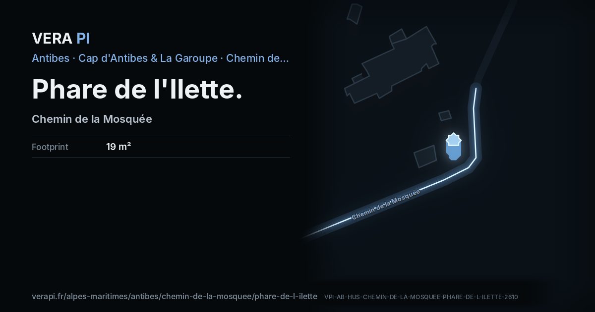
Phare de l'Ilette, its outline lit, on Chemin de la Mosquée.
Building outlines and heights © OpenStreetMap contributors (ODbL).
Nearby
Sights
- 0 mphare de l'IletteTower and lighthouse
The sea and the port
- 770 mplage de la Baie des MilliardairesBeach
- 890 mAbri de l'OlivettePort
Sources
Building outline, height, floors, use and address: © OpenStreetMap contributors, ODbL 1.0.
Wikidata (CC0) and Wikipedia (CC BY-SA 4.0); the photograph from Wikimedia Commons under its own licence.