The building
The walkers’ way up to the Garoupe plateau: the Chemin du Calvaire leads past the chapel of the Mont-Calvaire to the top of the Cap. It is the footpath alternative to the road – and part of the course of the Calvaire Antibois, the run that crosses the plateau twice each spring.
Good to know. On foot; good shoes.
Facts
- Address
- 645 Route du Phare
- Built
- 1915BDNB (fichiers fonciers)
- Floors
- 2OpenStreetMap building:levels
- Height
- 6 mOpenStreetMap height
- Footprint
- 69 m²OpenStreetMap
- Dwellings
- 1BDNB
- Heritage setting
- Within the setting of a historic monumentBDNB
- Quartier
- Cap d'Antibes & La Garoupe
On the map
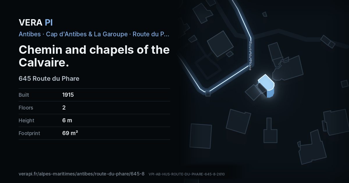
Chemin and chapels of the Calvaire, its outline lit, on Route du Phare.
Building outlines and heights © OpenStreetMap contributors (ODbL).
Nearby
Sights
- 100 mNotre Dame de la GaroupeChurch
- 30 mphare de la GaroupeTower and lighthouse
- 0 mchapelle du Mont-Calvaire d'AntibesChurch
Food & drink
- 110 mA Bon Port - le Bistrot du CuréCafé
The sea and the port
- 760 mPlage de la SalisBeach
- 600 mPort de la SalisPort
Sources
Text: Metro Mode, from Office de Tourisme – The Garoupe plateau; Wikidata.
Building outline, height, floors, use and address: © OpenStreetMap contributors, ODbL 1.0.
Year built, dwellings, storeys and materials: BDNB (CSTB, from the fichiers fonciers), Licence Ouverte 2.0 – facts about the building only.
Wikidata (CC0) and Wikipedia (CC BY-SA 4.0); the photograph from Wikimedia Commons under its own licence.