About Sentier de Tirepoil
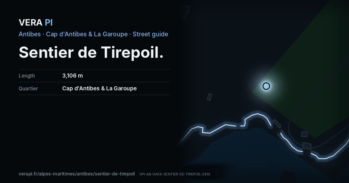
The coastal path of the Cap, an old customs officers’ path opened to the public by the 1986 coastal law. It runs some three kilometres through the rocks from the Garoupe beach to the Anse de l’Argent Faux, past the walls of the great estates and the Natura 2000 shore, with the Lérins islands to the west and the Alps to the east – about two hours, in good shoes. It closes in bad weather, and the section below the Villa Eilenroc is closed until May 2027.
Text: Metro Mode, from Wikipédia – Sentier de Tire-Poil; Office de Tourisme – Cap d’Antibes: the Tire-poil footpath.
Walk the street
Every apartment building and landmark on Sentier de Tirepoil, drawn at its height from OpenStreetMap. Walk it with the slider, switch sides, or tap a building for its card.
Skip the mapEverything along the street
Notable buildings and places
 Villa EilenrocA neoclassical villa finished in 1867 on plans attributed to Charles Garnier, at the tip of the Cap in an eleven-hectare park by the sea.Dacoucou · CC BY-SA 3.0 · Wikimedia CommonsPlage de la Baie des MilliardairesNature · Cap d'Antibes & La GaroupePlage Kellerstrand · Cap d'Antibes & La GaroupePlage Josephstrand · Cap d'Antibes & La Garoupe
Streets that meet it
Chemin de la Garoupe Avenue Mrs. L. D. Beaumont Chemin des Douaniers
Sources
- Buildings, heights, streets and places: © OpenStreetMap contributors, ODbL 1.0.
- Sights: Wikidata (CC0) and Wikipedia (CC BY-SA 4.0); photographs from Wikimedia Commons under the licence shown on each.
- Buses: Compagnie des Autobus d’Antibes GTFS, via transport.data.gouv.fr (Licence Ouverte 2.0).
- Sun: VERA PI’s model with the Copernicus GLO-30 terrain (© DLR e.V. 2010-2014 and © Airbus Defence and Space GmbH 2014-2018, provided under COPERNICUS by the European Union and ESA).
A VERA PI street guide – the same model as Strandvägen, Stockholm, fed with the open data of Antibes and France. Built 25 October 2026.