The place
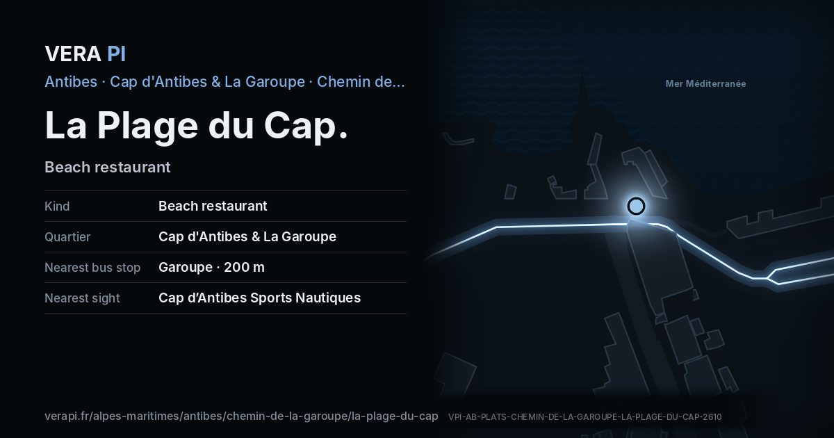
La Plage du Cap is a beach restaurant on Chemin de la Garoupe, in Cap d'Antibes & La Garoupe. It sits on the Garoupe beach and Chemin de la Garoupe. Plage de la Garoupe is 50 m away.
Facts
- Name
- La Plage du Cap
- Kind
- Beach restaurantOpenStreetMap
- Category
- Eat & drink
- Address
- 923 Chemin de la GaroupeOpenStreetMap
- Quartier
- Cap d'Antibes & La Garoupe
Where it is
La Plage du Cap on Chemin de la Garoupe.
The map of Cap d'Antibes & La Garoupe · © OpenStreetMap contributors (ODbL).
Nearby
Sights
- 180 mCap d’Antibes Sports NautiquesWater sports
- 150 mCap Luxury WatersportsWater sports and coastal trips
- 130 mPlage Kellerstrand
- 170 mPlage Josephstrand
- 50 mPlage de la Garoupestrand
Buses
- 200 mGaroupe
- 390 mContrebandier
The sea and the port
- 50 mPlage de la GaroupeBeach
- 980 mport du CroûtonPort
Sources
Text: Metro Mode, from the facts of OpenStreetMap (ODbL), VERA PI’s register.
Name, kind, address and opening hours: © OpenStreetMap contributors, ODbL 1.0 – as tagged, never a review, a rating or a price.
Buses: Compagnie des Autobus d’Antibes GTFS (Licence Ouverte 2.0).
Official website laclegroup.com