The building
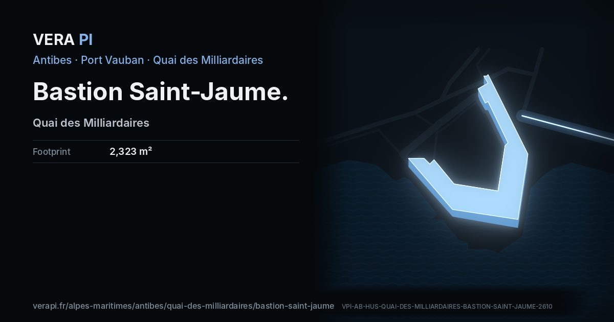
The bastion that closes the port on its eastern side was built at the end of the seventeenth century, between the harbour and the walled town. Its broad esplanade is now a public terrace and the plinth of Jaume Plensa’s Nomade, with the Fort Carré straight across the water.
Good to know. Open air, at the end of the Quai des Milliardaires.
Facts
- Address
- Quai des Milliardaires
- Footprint
- 2,323 m²OpenStreetMap
- Heritage setting
- Within the setting of a historic monumentBDNB
- Quartier
- Port Vauban
On the map
Bastion Saint-Jaume, its outline lit, on Quai des Milliardaires.
Building outlines and heights © OpenStreetMap contributors (ODbL).
Nearby
Sights
- 270 mAntibes HarborPort
- 280 mPort VaubanOther
- 0 mBastion Saint-JaumePalace
- 110 mplage du portOther
- 350 mplace Jacques AudibertiBuilding
- 300 mFontaine d’AguillonStatue and art
Food & drink
- 210 mAurileCafé
- 280 mL'Artigiano ItalianoFast food
- 290 mGustoRestaurant
- 300 mTroquet Des MilliardairesBar
The sea and the port
- 110 mplage du portBeach
- 270 mPort VaubanPort
Buses
- 350 mPorte Marine
Sources
Text: Metro Mode, from Wikipédia – Port Vauban; Office de Tourisme – Antibes step by step.
Building outline, height, floors, use and address: © OpenStreetMap contributors, ODbL 1.0.
Year built, dwellings, storeys and materials: BDNB (CSTB, from the fichiers fonciers), Licence Ouverte 2.0 – facts about the building only.
Wikidata (CC0) and Wikipedia (CC BY-SA 4.0); the photograph from Wikimedia Commons under its own licence.
Buses: Compagnie des Autobus d’Antibes GTFS (Licence Ouverte 2.0).
Official website antibes-juanlespins.com