Walk the street
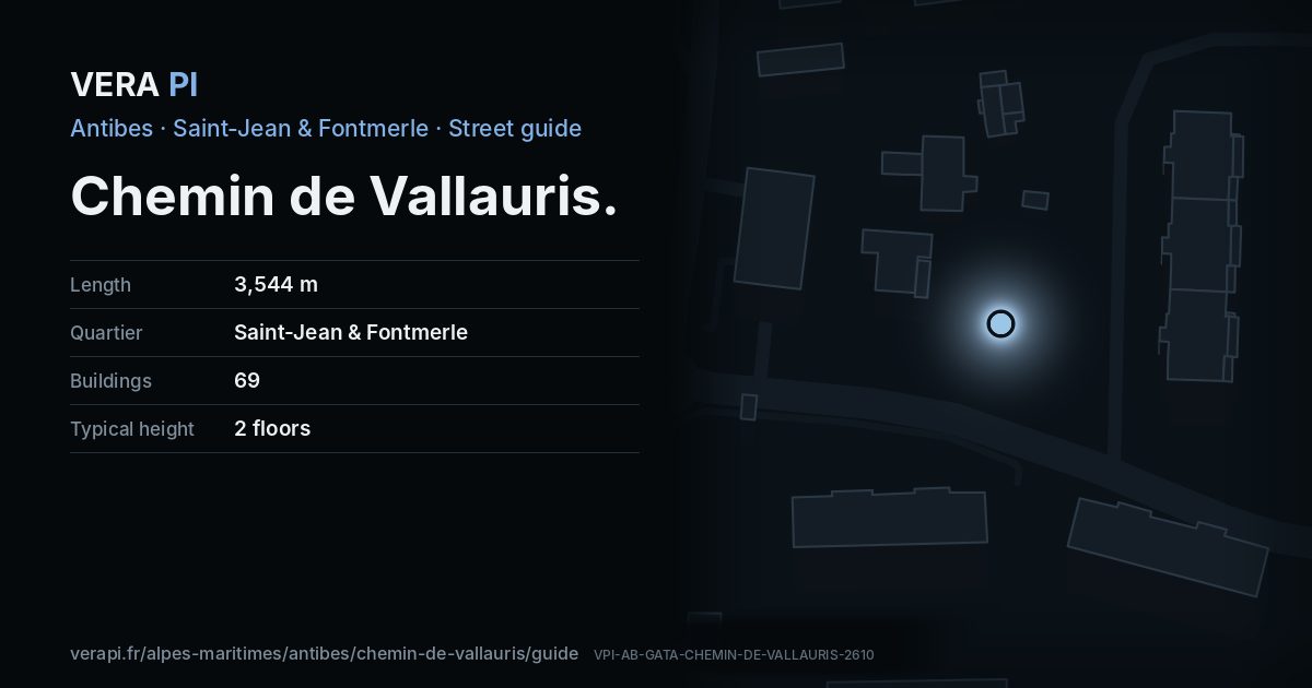
Every apartment building and landmark on Chemin de Vallauris, drawn at its height from OpenStreetMap. Walk it with the slider, switch sides, or tap a building for its card.
Skip the mapEverything along the street
Building by building
69 buildings with their own page on Chemin de Vallauris. Tap one to see it on the map.
Odd numbers 23
- 305Apartment buildingbuilt 1965 · 4 floors
- 243Apartment building1 floors
- 567Apartment buildingbuilt 1939 · 2 floors
- 1175Apartment buildingbuilt 2010 · 1 floors
- 567Apartment buildingbuilt 2003 · 2 floors
- 1217Apartment buildingbuilt 1989 · 3 floors
- 1217Apartment buildingbuilt 1989 · 3 floors
- 1217Apartment buildingbuilt 1989 · 3 floors
- 1395Apartment buildingbuilt 2003 · 4 floors
- 1365Apartment buildingbuilt 2003 · 4 floors
- 1411Apartment buildingbuilt 2003 · 4 floors
- 1217Apartment buildingbuilt 1982 · 3 floors
- 1365Apartment buildingbuilt 2003 · 4 floors
- 1365Apartment buildingbuilt 2003 · 4 floors
- 1365Apartment buildingbuilt 2003 · 4 floors
- 1365Apartment buildingbuilt 2003 · 4 floors
- 1365Apartment buildingbuilt 2003 · 4 floors
- 1365Apartment buildingbuilt 2003 · 4 floors
- 1365Apartment buildingbuilt 2003 · 4 floors
- 1365Apartment buildingbuilt 2003 · 4 floors
- 1615Apartment buildingbuilt 1945 · 2 floors
- 1615Apartment buildingbuilt 1945 · 2 floors
- 1685Géranium2 floors
Even numbers 46
- 392Apartment buildingbuilt 1950 · 2 floors
- 494Apartment buildingbuilt 1969 · 3 floors
- 1410Apartment buildingbuilt 1972 · 13 floors
- 1410Apartment buildingbuilt 1972 · 13 floors
- 1410Apartment buildingbuilt 1972 · 13 floors
- 494Apartment buildingbuilt 1969 · 3 floors
- 1960Apartment buildingbuilt 2011 · 2 floors
- 1960Apartment buildingbuilt 2011 · 2 floors
- 1960Apartment buildingbuilt 2011 · 2 floors
- 504Apartment buildingbuilt 1971 · 3 floors
- 1410Apartment buildingbuilt 1972 · 13 floors
- 902Apartment building3 floors
- 1960Apartment buildingbuilt 2011 · 2 floors
- 1124Apartment buildingbuilt 2003 · 2 floors
- 1960Apartment buildingbuilt 2011 · 2 floors
- 1124Apartment buildingbuilt 2003 · 2 floors
- 1960Apartment buildingbuilt 2011 · 2 floors
- 1960Apartment buildingbuilt 2011 · 2 floors
- 1960Apartment buildingbuilt 2011 · 2 floors
- 876Apartment buildingbuilt 1999 · 3 floors
- 1768Apartment buildingbuilt 2024 · 2 floors
- 876Apartment buildingbuilt 1999 · 3 floors
- 1410Apartment buildingbuilt 1972 · 13 floors
- 876Apartment buildingbuilt 1999 · 3 floors
- 902Apartment building3 floors
- 1410Apartment buildingbuilt 1972 · 13 floors
- 1768Apartment buildingbuilt 2024 · 2 floors
- 1960Apartment buildingbuilt 2011 · 2 floors
- 1960Apartment buildingbuilt 2011 · 2 floors
- 1960Apartment buildingbuilt 2011 · 2 floors
- 1410Apartment buildingbuilt 1972 · 13 floors
- 1960Apartment buildingbuilt 2011 · 2 floors
- 1960Apartment buildingbuilt 2011 · 2 floors
- 1960Apartment buildingbuilt 2011 · 2 floors
- 1960Apartment buildingbuilt 2011 · 2 floors
- 902Apartment building3 floors
- 1410Apartment buildingbuilt 1972 · 13 floors
- 1960Apartment buildingbuilt 2011 · 2 floors
- 1960Apartment buildingbuilt 2011 · 2 floors
- 1960Apartment buildingbuilt 2011 · 2 floors
- 1960Apartment buildingbuilt 2011 · 2 floors
- 1744Apartment buildingbuilt 1999 · 2 floors
- 1744Apartment buildingbuilt 1999 · 2 floors
- 1744Apartment buildingbuilt 1999 · 2 floors
- 1744Apartment buildingbuilt 1999 · 2 floors
- 1744Apartment buildingbuilt 1999 · 2 floors
Notable buildings and places
Getting around
- BusBarreau
- BusGénéral Ferrié
- BusAmbroisie Lauvert
- BusBarreau
- BusGénéral Ferrié
- BusÉglise Sainte-Jeanne d'Arc
Stops within 250 m of the street. Compagnie des Autobus d’Antibes, timetable valid 5 October – 18 December 2026 (Licence Ouverte 2.0).
Schools nearby
- ·École primaire privée Notre-Dame de La TramontaneSchool
- ·Collège privé Notre-Dame de La TramontaneSchool
- ·Ecole International MontessoriSchool
- ·Collège Sidney BechetSchool
Within 400 m; OpenStreetMap.
Streets that meet it
Voie Alphonse et Odette Grebel Avenue Général Ferrié Avenue René Barthélémy Chemin des Eucalyptus Chemin de la Grimpette Avenue Ernest Gauthier Avenue des Eucalyptus Avenue El Sol Route de la Badine Avenue de Lérins Traverse Delaunay Chemin Interland Traverse de la Grimpette Avenue des Lucioles Chemin de Notre-Dame Chemin de Lauvert Avenue Jeanne d'Arc
Sources
- Buildings, heights, streets and places: © OpenStreetMap contributors, ODbL 1.0.
- Sights: Wikidata (CC0) and Wikipedia (CC BY-SA 4.0); photographs from Wikimedia Commons under the licence shown on each.
- Buses: Compagnie des Autobus d’Antibes GTFS, via transport.data.gouv.fr (Licence Ouverte 2.0).
- Sun: VERA PI’s model with the Copernicus GLO-30 terrain (© DLR e.V. 2010-2014 and © Airbus Defence and Space GmbH 2014-2018, provided under COPERNICUS by the European Union and ESA).
A VERA PI street guide – the same model as Strandvägen, Stockholm, fed with the open data of Antibes and France. Built 25 October 2026.