The building


Facts
- Address
- 1486 Route de Grasse
- Use
- Place of worshipOpenStreetMap
- Footprint
- 371 m²OpenStreetMap
- Quartier
- Les Semboules & Les Trois Moulins
On the map
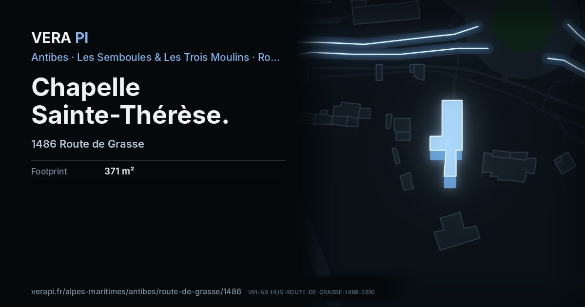
Chapelle Sainte-Thérèse, its outline lit, on Route de Grasse.
Building outlines and heights © OpenStreetMap contributors (ODbL).
Nearby
Sights
- 10 mchapelle Sainte-Thérèse d'AntibesChurch
The sea and the port
- 2.8 kmPlage du Fort CarréBeach
Buses
- 70 mSainte-Thérèse
- 100 mRD 35bis
- 120 mRD 35bis
Sources
Building outline, height, floors, use and address: © OpenStreetMap contributors, ODbL 1.0.
Year built, dwellings, storeys and materials: BDNB (CSTB, from the fichiers fonciers), Licence Ouverte 2.0 – facts about the building only.
Wikidata (CC0) and Wikipedia (CC BY-SA 4.0); the photograph from Wikimedia Commons under its own licence.
Buses: Compagnie des Autobus d’Antibes GTFS (Licence Ouverte 2.0).