French Riviera · Nice · 06300
71 Ancienne Route stratégique du Mont Leuze.
Parcel ID 79 · a plot of 310 m².
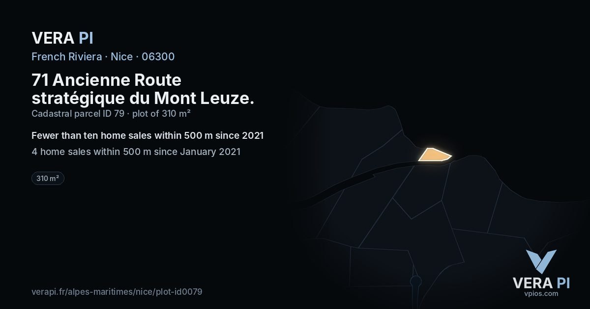
The plot in figures
310 m²plot area as registered (cadastre)
4home sales within 500 m since 2021 – fewer than ten for a median
ID 79cadastral parcel
The plot as the VERA PI databases hold it: the parcel and its area in DGFiP's cadastre, its addresses in the Base Adresse Nationale, the home sales of DGFiP's DVF register around it from January 2021 to June 2026 (a deed of one house or flat). A median needs ten sales. Never a single sale – not even the plot's own – never an owner. Read 2026-10-19.