French Riviera · Saint-Raphaël · 83700
50 Allée Saint Andrews.
Parcel AC 752 · a plot of 1,779 m²; homes within 500 m at a median of €5,670 per m².
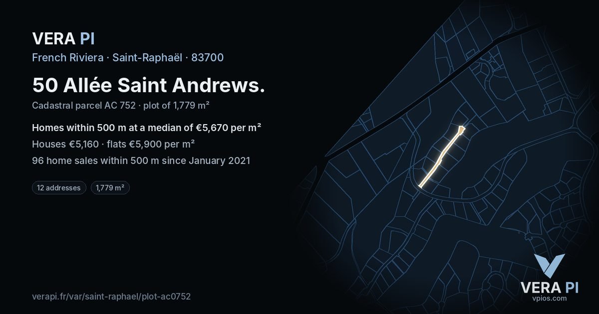
The plot in figures
1,779 m²plot area as registered (cadastre)
€5,670median per m², 96 home sales within 500 m since 2021
€5,160houses within 500 m, per m² (40 sales)
€5,900flats within 500 m, per m² (56 sales)
Top 37%of the Riviera's plots by the prices around them
AC 752cadastral parcel
Its addresses
| 50 Allée Saint Andrews |
| 96 Allée Saint Andrews |
| 127 Allée Saint Andrews |
| 163 Allée Saint Andrews |
| 128 Allée Saint Andrews |
| 199 Allée Saint Andrews |
| 21 Allée Saint Andrews |
| 103 Allée Saint Andrews |
| 184 Allée Saint Andrews |
| 140 Allée Saint Andrews |
| 31 Allée Saint Andrews |
| 170 Allée Saint Andrews |
The plot as the VERA PI databases hold it: the parcel and its area in DGFiP's cadastre, its addresses in the Base Adresse Nationale, the home sales of DGFiP's DVF register around it from January 2021 to June 2026 (a deed of one house or flat). A median needs ten sales. Never a single sale – not even the plot's own – never an owner. Read 2026-10-19.