Walk the street
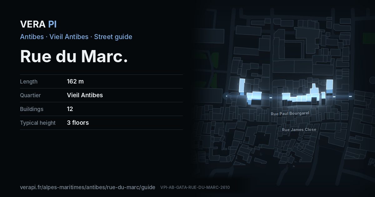
Every apartment building and landmark on Rue du Marc, drawn at its height from OpenStreetMap. Walk it with the slider, switch sides, or tap a building for its card.
Skip the mapSwipe along the street
The buildings on Rue du MarcPublic buildings and landmarksOther buildingsHeights from OpenStreetMap
Everything along the street
Building by building
12 buildings with their own page on Rue du Marc. Tap one to see it on the map.
Odd numbers 3
Even numbers 9
- 4Apartment buildingbuilt 1933 · 3 floors
- 4 bisApartment buildingbuilt 1980 · 4 floors
- 8Apartment buildingbuilt 1850 · 4 floors
- 12Apartment buildingbuilt 2024 · 1 floors
- 14Apartment buildingbuilt 1924 · 2 floors
- 14 BisApartment buildingbuilt 1924 · 2 floors
- 16Apartment building3 floors
- 18Apartment building3 floors
- 22Apartment buildingbuilt 1860 · 4 floors
Notable buildings and places
Getting around
- BusPlace Guynemer
- BusPlace Barnaud
- BusAvenue Maréchal Reille
- BusPlace Guynemer
Stops within 250 m of the street. Compagnie des Autobus d’Antibes, timetable valid 5 October – 18 December 2026 (Licence Ouverte 2.0).
Schools nearby
- ·École primaire GuynemerSchool
- ·Collège FersenSchool
- ·École primaire privée Sainte-MarieSchool
Within 400 m; OpenStreetMap.
Streets that meet it
Rue de la République Rue de Fersen Rue du Général Vandenberg Rue Vial
Sources
- Buildings, heights, streets and places: © OpenStreetMap contributors, ODbL 1.0.
- Sights: Wikidata (CC0) and Wikipedia (CC BY-SA 4.0); photographs from Wikimedia Commons under the licence shown on each.
- Buses: Compagnie des Autobus d’Antibes GTFS, via transport.data.gouv.fr (Licence Ouverte 2.0).
- Sun: VERA PI’s model with the Copernicus GLO-30 terrain (© DLR e.V. 2010-2014 and © Airbus Defence and Space GmbH 2014-2018, provided under COPERNICUS by the European Union and ESA).
A VERA PI street guide – the same model as Strandvägen, Stockholm, fed with the open data of Antibes and France. Built 25 October 2026.