Beach · Cap-d'Ail
Plage de la Mala
A cove under the cliffs at the end of the coastal path, reached on foot
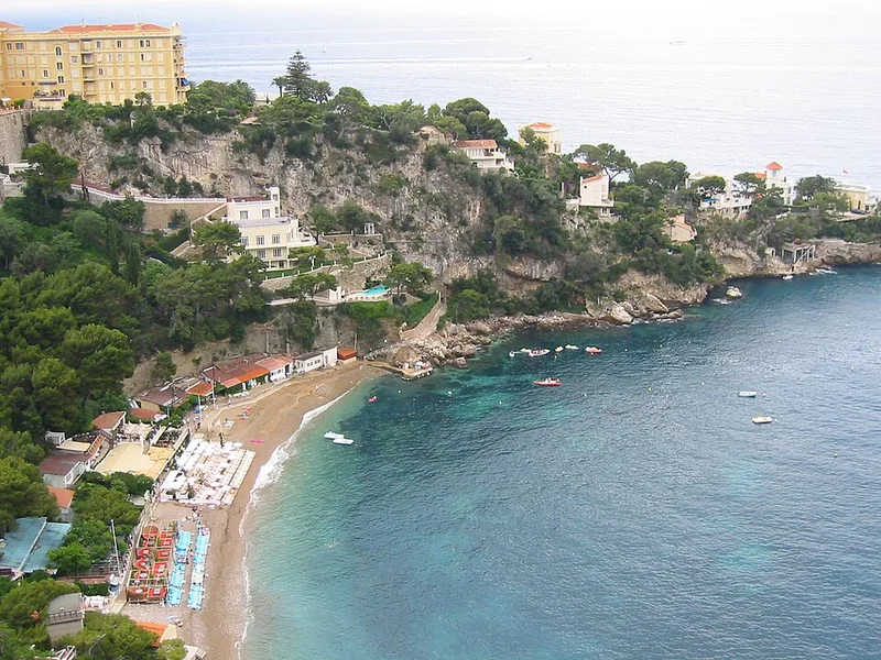
The Mala is the cove where Cap-d'Ail's steep slope, coming down from the Tête de Chien, meets the sea. It lies at one end of the 3,600-metre coastal path to Marquet beach, in the marine natural area of the Pointe Mala.
Plage de la Mala is a beach on Plage de la Mala in Cap-d'Ail. The station Cap d'Ail is 400 m away (about 6 min on foot).
Nearby
Sources
- Wikipédia (fr) : Cap-d'Ail
- OpenStreetMap contributors (ODbL)